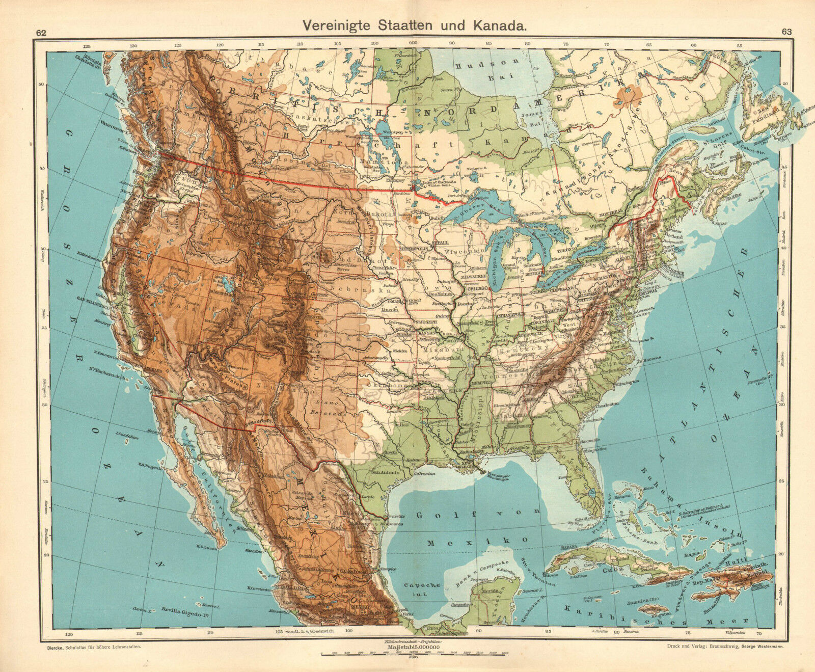
1908 MAP ~ NORTH AMERICA PHYSICAL ~ UNITED STATES & CANADA BRITISH COLUMBIA

When you click on links to various merchants on this site and make a purchase, this can result in this site earning a commission. Affiliate programs and affiliations include, but are not limited to, the eBay Partner Network.
1908 MAP ~ NORTH AMERICA PHYSICAL ~ UNITED STATES & CANADA BRITISH COLUMBIA :
$47.29
Beautifulvintage Map on quality paperEXCELLENT condition and rescued from a disbound GERMAN AtlasDIERCKE: SCHUL-ATLAS1908THIS IS AN ORIGINALMAP OVER100 YEARS OLDAND NOT A LATER REPRODUCTIONPLEASE NOTE: ANY TEXT ON THISMAP WILL BE IN GERMANThisFOLD-OUT map measures approximately 17inches x13 1/2inches(430mm x 340mm) CONDITIONEXCELLENT ~THERE WILL BE ANOTHER MAP OR PART MAP ON THE REVERSEPLEASE NOTE: ANY TEXT ON THISMAP WILL BE IN GERMANPlease email with any questions regarding this item (Ciercke)BEST OFFERS PLEASE FOR A QUICK SALE AT A FAIR PRICEIf you like the item, but do not like the price, then make a realistic offer to us using the MAKE OFFER BUTTON
1908 MAP ~ NORTH AMERICA PHYSICAL ~ UNITED STATES & CANADA BRITISH COLUMBIA :
$47.29
