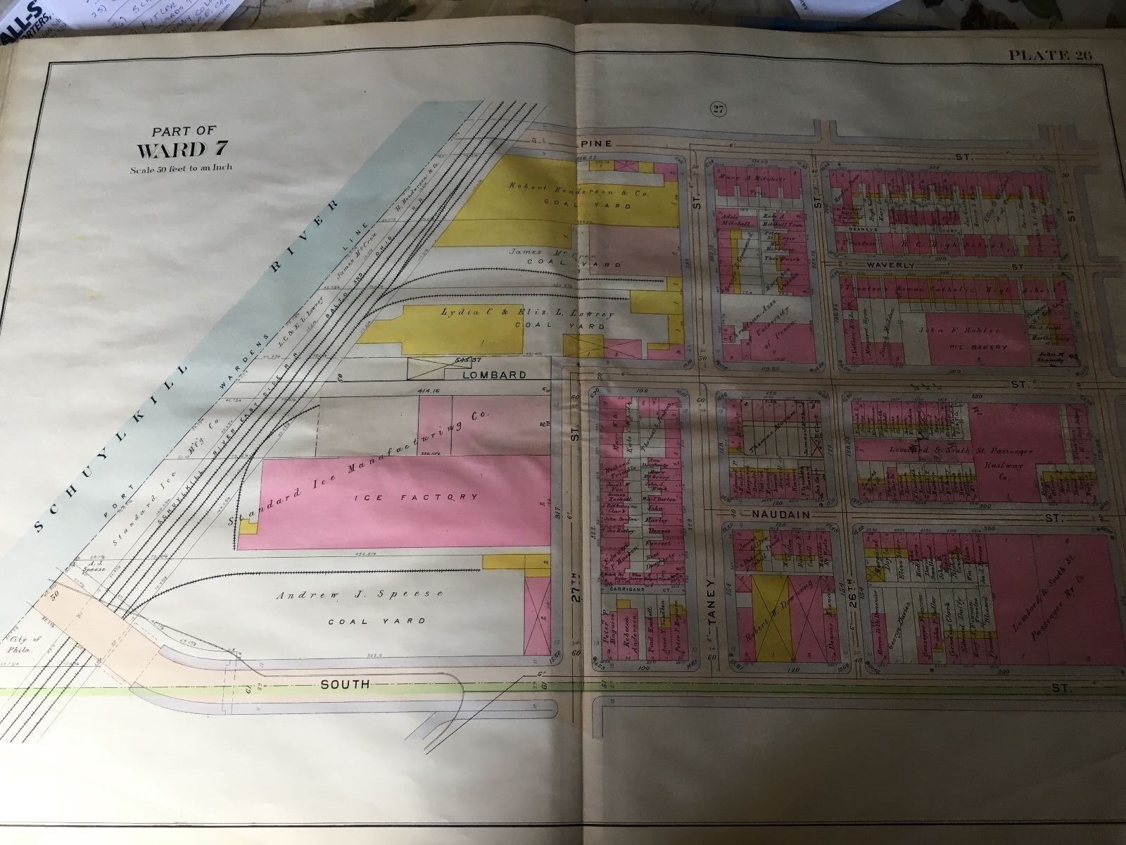
1908 PHILADELPHIA PA WARD 7 SCHUYLKILL RIVER PLAT 26 ATLAS MAP

When you click on links to various merchants on this site and make a purchase, this can result in this site earning a commission. Affiliate programs and affiliations include, but are not limited to, the eBay Partner Network.
1908 PHILADELPHIA PA WARD 7 SCHUYLKILL RIVER PLAT 26 ATLAS MAP:
$79.95
This is an original of the 1908 Elvino V. Smith Philadelphia, PA atlas map.
Plat 26: shows fromSchuylkill River to 25th St. and from South St. to Pine St.
Each color represents adifferent type of building:Brown is Stone;Pink is Brick; Yellow is Wood and Blue is Half Wood. Brown Box with an X = Stone Stable; Pink Box with an X = Brick Stable and Yellow box with an X = Wood Stable. See key for what all thesymbols indicate.I am selling my collection of rare maps. If there is an area or street address of Long Island, Brooklyn, Manhattan, Queens, Staten Island, Bronx, Newark, Cleveland, Boston, Rochester, Elmira, Philadelphia, Toledo or Pittsburgh that you might be interested in, check my other listings or contact me and I will place it on BUY IT NOW. I have insurance maps from 1880 to mid-1950s. Looks great framed!Check out myother items!
1908 PHILADELPHIA PA WARD 7 SCHUYLKILL RIVER PLAT 26 ATLAS MAP:
$79.95
