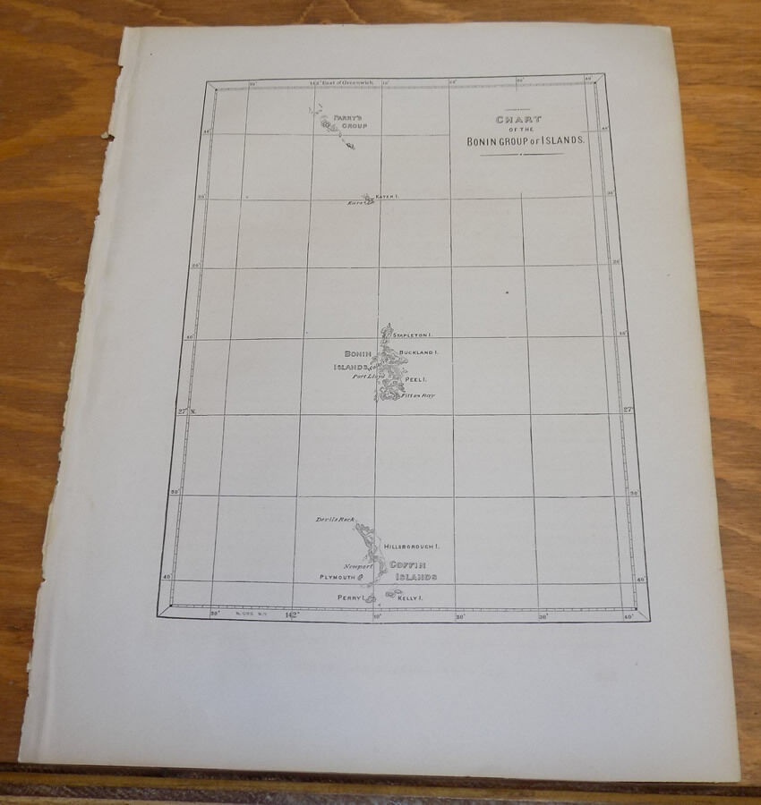
1856 Map COMMODORE PERRY in Asia/MAP OF BONIN GROUP OF ISLANDS, JAPAN/Ogasawara

When you click on links to various merchants on this site and make a purchase, this can result in this site earning a commission. Affiliate programs and affiliations include, but are not limited to, the eBay Partner Network.
1856 Map COMMODORE PERRY in Asia/MAP OF BONIN GROUP OF ISLANDS, JAPAN/Ogasawara :
$21.24
THIS ITEM IS A GENUINE ORIGINAL VINTAGE PRINTFROM THE SOURCE/DATE LISTED
Name - Map of Bonin Group of Islands, now the Ogasawara Islands of Japan
Date - 1856
By - Francis Hawks, DD, LLD
Source - Narrative of the Expedition of an American Squadron to The China Seas and Japan, Performed in the Years 1852, 53, and 54, Under the Command of Commodore M. C. Perry, United States Navy, by Order of the Government of the United States, compiled from the original notes and journals of Commodore Perry
Published By - Congress of the United States, Printed by A. O. P. Nicholson
Size - Sheet about 8.75x11.5\"
Condition - Very Nice, binding gutter wrinkles near left edge
Payment due within 14 days after our initial after sale contact.
Pennsylvania residents MUST add applicable SALES TAX
or send resale number.
Thanks. Good Luck! To See Our Other sales and Store Items CLICK HERE!
1856 Map COMMODORE PERRY in Asia/MAP OF BONIN GROUP OF ISLANDS, JAPAN/Ogasawara :
$21.24
